Beschrijving
OMSCHRIJVING
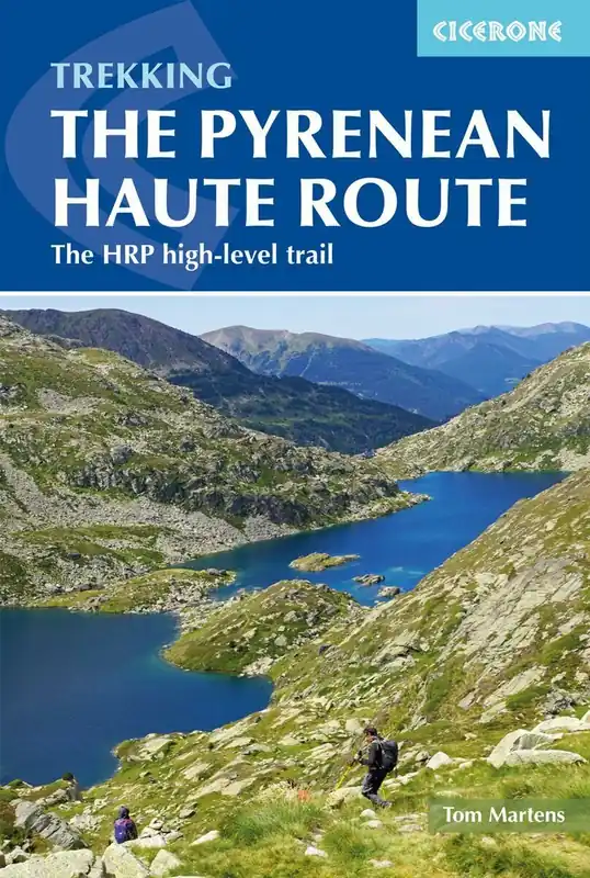
Engelstalige wandelgids van de HRP – de Pyrenean Haute Route die over 750 kilometer de hoofdkam van de Pyreneeën volgt tussen Hendaye aan de Golf van Biskaje tot Banyuls-sur-Mer aan de Middellandse Zee. Deze route is bedoeld voor ervaren bergwandelaars.
- Praktische informatie over voorbereiding
- 44 dagetappes met optionele varianten
- Inclusief suggesties voor goede kampeerplekken en bivaklocaties
- Overzichtkaartjes van de etappes, schaal 1:100.000
- Lijst met accommodatie (met contactinformatie)
- Verklarende woordenlijst
- Lijst met faciliteiten onderweg
Guidebook to trekking the Pyrenean Haute Route, which zigzags across the Franco-Spanish border, staying to the main ridge in the highest and most spectacular central Pyrenees. It covers 750km with over 40km of ascent, so is suitable for experienced mountain walkers only. The largely unwaymarked route is presented in 44 stages.
The Pyrenean Haute Route is a summer route that is best hiked between late June and early October, when the days are long, the weather more settled and most of the snow has melted.
Grades are used to give an indication of difficulty. Most of the 44 stages fall into Grade 2 (5-7 hour stages with a reasonable amount of ascent and descent) and should be within the capabilities of an experienced hiker. A small number are longer, more demanding routes (Grade 3) and a few are short, easy hikes (Grade 1). Three stages are graded E for ‘exceptional’: these routes contain steep and exposed sections requiring great care. Crampons and ice axe may be needed on some stages in early summer, but for each of these stages, an easier alternative is described.