
Beschrijving
OMSCHRIJVING
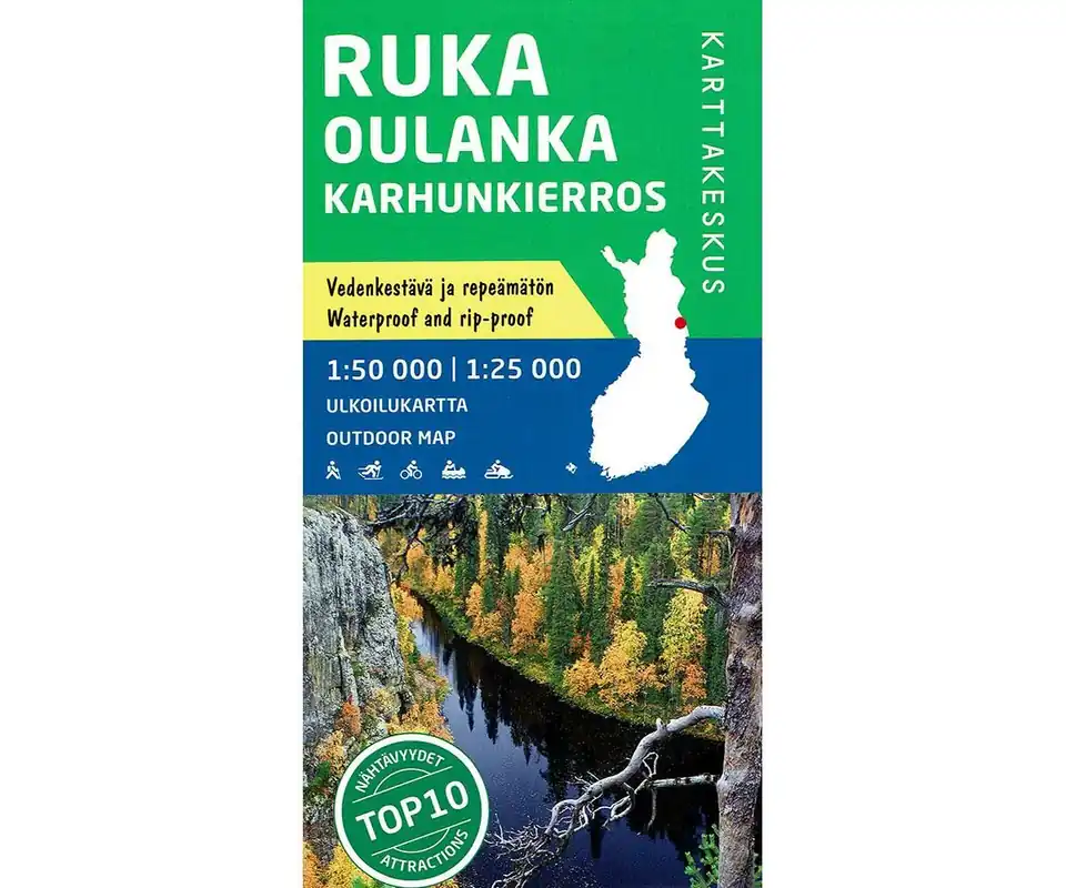
Topografische wandelkaart van Ruka Oulanka Karhunkierros Bear Trail in Fins Lapland:
- Gedrukt op waterproof en scheurbestendig papier
- Schaal 1:50.000 / 1:25.000
- Fietskaart, wandelkaart, kanokaart
- Hoogtelijn
- UTM-grid
- Taal: Fins, Engels, Duits
- Ingetekende wandelpaden, langlaufroutes
- Afstanden aangegeven
- Hotels, campings, cafe’s, restaurant, VVV, winkels etc.
Ruka Oulanka, Beartrail – Outdoormap 1:50 000
The card provides you with a comprehensive, detailed overview of hiking and skiing trails, cycling, canoeing and snowmobile trails in the area Ruka Oulanka, which is located in the northeast near the Russian border. The map also describes the famous bear trail in Oulanka National Park.
The Ruka Oulanka region comprises approximately one climes of Hautajärvi, Liikasenvaara, Juuma Vuotunki, Ruka and Oulank. In addition, the card contains coordinates of day trip huts and open wilderness huts. In addition, a map of Ruka and an area plan from Pieni Karhunkierros at a scale of 1:20.000 is included.
Legend conatins:
Karhunkierros Trail, The Pieni Karhunkierros Trail, Hiking and skiing routes, Hiking routes, Skiing routes, Hiking, skiing and mountain bike routes, illuminated routes, Mountain bike routes, Nature trails, Canoe and boat routes, Rapids shooting routes, Snowmobile routes, Distance on trails, Hotels, holiday villages, other accomodation, Fell hut, saunas, camping sites, Tent areas, lean-to shelters, Lapland teepees, Campfire sites, ornithological observation towers, swimming, Fords, suspension bridges, Restaurants, cafés, postal service points, Shops, souvenir shops, pharmacies, filling stations, Ski resorts and stadiums, sights, Parking areas, boat ramps, recreational fishing, Tourist information, information boards, Forests, Open ground, Agricultural land, Bog, difficult or impossible to traverse, Bog, easy to traverse, Paludified areas, Bare rock, blockfield, stony ground, Gravel pits, furrowed areas, Coniferous, deciduous, mixed forests, brush, Main roads, Vehicle and cart tracks, Paths, Winter roads, Road bars, Electricity transmission lines, Masts, Fences, Buildings, Main contour 20 m, Intermediate contour 5 m, Precipices, National parks, Boundary of the National park’s zone, International boundaries, Communal boundaries, River over 20 m, River 5 – 20 m wide, River 2 – 5 m wide, Stream, less than 2 m wide, Springs, water pits, Depth contours